About GLOF EWS
The Hindukush, Karakoram and Himalaya region, often called the Water Towers of Asia, contains extensive snow and glacier resources that feed the Indus Basin and support millions of people downstream. Pakistan Meteorological Department monitors these high-altitude areas through conventional observatories, automatic weather stations, rain gauges, water level gauges and discharge gauges installed across Gilgit-Baltistan and Khyber Pakhtunkhwa. The collected observations support weather, hydrological and cryosphere monitoring, and help generate timely alerts and advisories for hazards such as extreme weather, flash floods, glacial lake outburst floods and landslides.
The Hindukush, Karakoram and Himalaya region includes the Indus Basin shared by Afghanistan, China, India and Pakistan. These mountain ranges contain one of the largest glaciated ice and snow regions outside the polar areas and are a critical water source for downstream communities.
Northern Pakistan forms an important part of this mountain system and supplies water to the River Indus and its tributaries. Continuous monitoring of snow, glaciers, glacial lakes and related hydrometeorological conditions is essential for understanding climate change impacts and reducing disaster risk.
Pakistan Meteorological Department maintains monitoring presence in these rugged high-altitude regions through conventional observatories and automatic hydro-meteorological stations. The network includes Automatic Weather Stations, Automatic Rain Gauges, Water Level Gauges and Discharge Gauges that measure weather parameters, water levels and stream flows.
PMD also conducts field and remote-sensing based glacier monitoring, including studies of melt rates, depth, debris cover, movement and mass balance. These observations, together with models and technical tools, support alerts and advisories for extreme weather, flash floods, glacial lake outburst floods, landslides and related hazards.
The department works with national and international organizations, universities and disaster management authorities to strengthen climate, cryosphere and disaster risk knowledge for northern Pakistan.
Monitoring Instruments
The portal brings together field instruments used for weather, rainfall, water level, discharge, and warning communication.
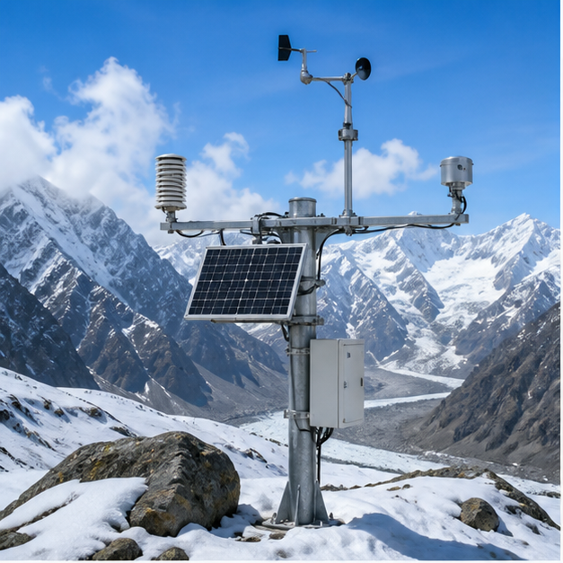
AWS and AWS-H
Automatic weather stations for temperature, humidity, wind, pressure, and high-altitude monitoring.
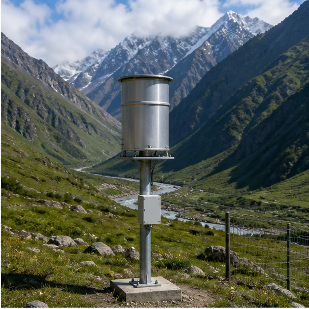
ARG
Automatic rain gauges used to monitor rainfall intensity and cumulative precipitation.
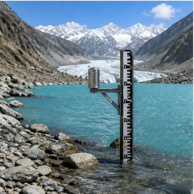
WL-R and WL-L
Water level instruments for rivers and lakes supporting lake and stream monitoring.
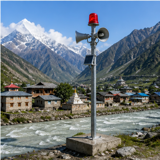
DG and WP
Discharge gauges and warning posts supporting response coordination and field alerts.
Portal Products
Authorized users can access operational dashboards, station status reports, trend analysis, rainfall reporting, and observation tools after sign-in.
Geospatial Monitoring
Map-based station visibility with latest observations and station search.
Statistical Dashboard
Last 24-hour hydrometeorological summaries and communication network status.
Station Status
Hourly, daily, valley-wise, and province-wise reporting status.
Reports and Trends
Observation comparisons, rainfall reports, and elevation-based temperature analysis.